Why I do cartography…
Maps are how humans organize and find their way in the world. I first learned to love maps when, as a child, my father would let me sit in the front seat of the car on family trips, hand me a paper copy of a highway map, and tell me to be the navigator. I probably found the prospect of not sharing the back seat with my sister, brother, and our Siberian Husky as attractive as following our progress on the road, but the lessons stuck.
As a field geologist, I’ve made maps my entire life though most of my mapping consisted of plotting arcane geological symbols and lines on USGS topo map bases. For more than half my career, field geologists were, and for the most part still are, experts at reading topographic contours, locating oneself by triangulating with highly accurate analog compasses, and reading stereo photograph pairs. These skills, as intellectually and esthetically pleasing as they may be, are rapidly dying out. Four related technological trends have not only diminished the need for these traditional skills but have revolutionized and rejuvenated all of cartography:
GPS — The Global Positioning System was first developed by the US Military and began to be actively used by geologists and other outdoor enthusiasts in the 1990s with the advent of small portable receivers. GPS is now part of the Global Navigation Satellite System (GNSS) which encompasses satellites from several different countries. Now, everyone has a “GPS receiver” in the smart phone in their pocket and can locate themselves to within about 5 m (15 ft) under most circumstances where their device has an adequate view of the satellites in the sky. I put “GPS receiver” in quotes because smart phones actually first locate the user by triangulating on cell phone towers before using GPS.
Satellite Imagery — High resolution satellite imagery, with pixel sizes of a meter or less, now covers a large part of the globe and, most importantly, much of that imagery is now available to everyone in georeferenced format via the internet and tools such as Google Earth, MapBox, Apple Maps etc. In heavily forested areas such as the Northeastern United States where I live, that imagery has limited value for anything other than anthropogenic features, but in arid regions, one can now see the very boulder next to which they are standing from space!
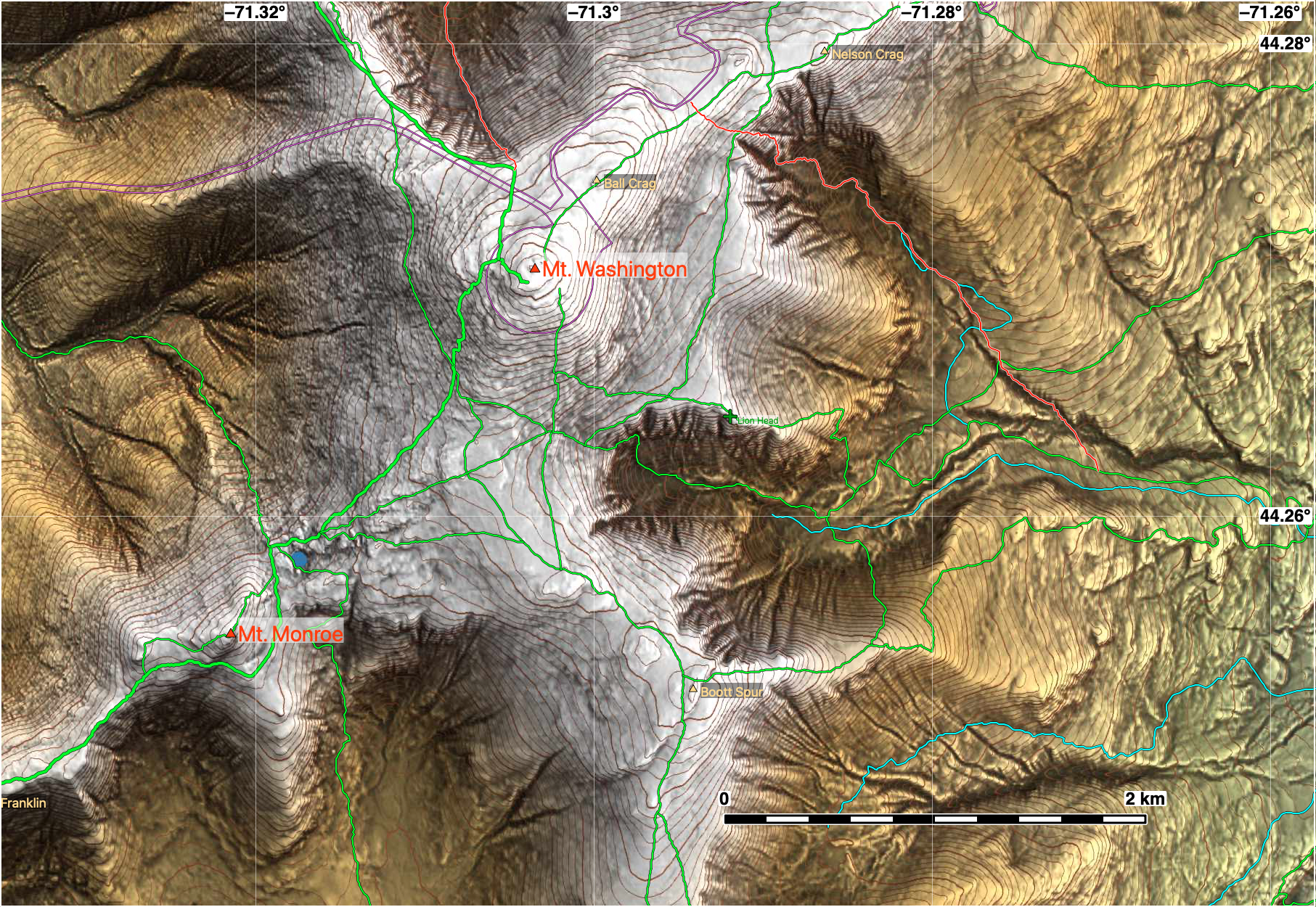
Digital Elevation Models (DEMs) — Digital models of topography, gridded and smoothed, are now available at various resolutions for most of the subaerial Earth. In the United States, we do not realize how lucky we are to have exceptional quality topography, with datapoints every 10 m (33 ft) available for the entire country and, increasingly, LiDAR datasets with elevations every 1 m, freely downloadable from the internet from the US Geological Survey and many state organizations. Throughout most of the rest of the world, digital topography is considered a state secret and is only available at 30 m (100 ft) spacing from the US, European, and Japanese state agencies. Geologists and geographers divide DEMs into digital surface models (DSMs) and digital terrain models (DTMs) because some sensors measure the bare earth (DTMs) but others measure the tree canopy and/or manmade structures (DSMs).
GIS computer programs — powerful geographic information systems have been developed over the last 30 years or so to harness and organize all of this digital information.
New Skills Needed
In this new digital age, geologists, and anyone else working with maps, need new skills. Some of these skills, like an introduction to GIS programs, are now routinely taught to undergraduate. Others, like map datums and projections, are not usually covered in adequate detail. In addition to those already mentioned, an understanding of digital elevation models (DEMs) — e.g., the difference between digital surface models (DSMs) and digital terrain models (DTMs), why the same point on the ground may yield different elevations, interpolation used in display of DEMs, etc. — are increasingly important for scientists working with maps. Digital data from online sources frequently employ different datums so we need to know how to combine those data accurately. If you don’t know the difference between WGS84 and NAD83, or it comes as a surprise to you that exactly the same latitude-longitude pair in NAD27 and NAD83 can differ on the ground by 70 m or more, then you need to brush up on your map skills!